Media Contacts
-
Adia Puja Pradana
Communications Specialist Ocean Program YKAN
Yayasan Konservasi Alam Nusantara
Email: adia.pradana@ykan.or.id
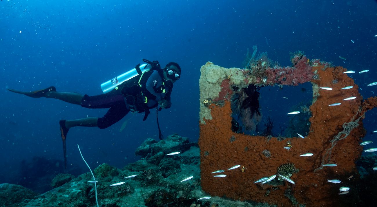
The Reef Health Monitoring (RHM) activities have been carried out since 2009 in several marine conservation areas in the Bird's Head Seascape of Papua. This year, the Papua Barat Daya Provincial Office of Agriculture, Food, Marine Affairs and Fisheries (P2KP), the University of Papua (UNIPA), Yayasan Konservasi Alam Nusantara (YKAN), and other partners conducted coral health monitoring from September 28 to October 11, 2024.
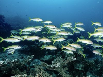
The Bird's Head Seascape is located in the heart of the Coral Triangle, the center of marine biodiversity in the world. This area is home to over 1,700 fish species and more than 75% of the world's soft and hard coral species.

"The high biodiversity of the Bird's Head Seascape makes this area a priority for marine conservation efforts, both for Indonesia and globally. We thank YKAN, UNIPA, and other partners who have consistently supported environmental preservation in this region. Regular coral health monitoring is a significant activity to support sustainable management efforts," said Absalom Solossa, Head of the Papua Barat Daya Provincial Office of Agriculture, Food, Marine Affairs, and Fisheries.
The coral health monitoring, supported by the Blue Action Fund (BAF), was conducted in conservation areas in North Misool waters, Raja Ampat Regency, prospective conservation areas in Maksegara waters, Sorong Regency, as well as in the waters managed by the MHA Moi Malaumkarta Raya, and the waters managed by the MHA Werur of the Byak Karon Tribe in Tambrauw Regency. Monitoring in the North Misool Conservation Area involved observations at 28 sites, Maksegara at nine sites, and Werur at seven sites.
This activity is an effective effort to provide information for assessing the effectiveness of marine conservation area management. Through monitoring, researchers evaluate the current condition of coral reef ecosystems, monitor fish biomass, examine the state of organisms living on the seabed, and measure water health.


"The health of coral, including coral cover and fish biomass, is important for measuring the quality of reef ecosystems and the effectiveness of conservation area management. Up-to-date data and trends on coral conditions are indicators of success in implementing zoning systems and are used to adapt ongoing management plans," explained Professor Roni Bawole, Coastal and Marine Resource Management at the University of Papua.
"Ultimately, the data collected from the monitoring will be analyzed and used to support better and more adaptive management. This monitoring is also valuable for assessing the effectiveness of conservation area management," said Habema Monim, Ecology Monitoring Coordinator for the Science for Conservation Program at the Institute for Research and Community Service (LPMP) UNIPA.
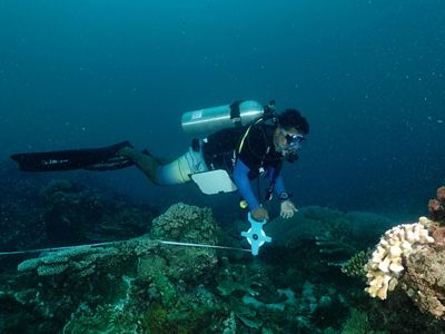
YKAN's Senior Manager for the Bird's Head Seascape, Awaludinnoer, explained that the data collection methods for this activity adhere to the "Coral Reef Monitoring Protocol for Assessing the Effectiveness of Marine Conservation Areas." "One of the sampling methods for assessing coral health is the Underwater Photo Transect (UPT) method, which utilizes advancements in technology, both digital cameras and computer software," Awaludinnoer stated.

He continued that the monitoring team would collect data in the field through underwater photographs, which would then be analyzed using computer software to obtain quantitative data.
"The data from this monitoring will also serve as recommendations for accelerating the designation of the Maksegara marine conservation area, which includes the waters in the Makbon, Selemkai, Mega, and Moraid districts along the northern coast of Sorong and Tambrauw Regencies. The prospective Maksegara marine conservation area was initiated by the Coastal and Marine Resource Management Center (LPSPL) Sorong in 2019, covering an area of 135,300 hectares," concluded Awaludinnoer.
Yayasan Konservasi Alam Nusantara (YKAN) is a scientific-based non-profit organization that has been present in Indonesia since 2014. With the mission of protecting lands and waters as life support systems, we provide innovative solutions to realize the harmony of nature and humans through effective natural resource management, prioritizing a non-confrontational approach, and building a network of partnerships with all stakeholders for a sustainable Indonesia. For more information, visit ykan.or.id.

