Reviewing the Progress of 3D Map-Making and RTGL Design in Biatan Lempake Village, Berau
SIGAP Village in the oil palm plantation sector is a mentorship programme for local communities that relies on their collective action to find their strengths, dreams, and creative and innovative solutions to face their unique challenges and empower themselves as a community or as villagers in an oil palm plantation area. Yayasan Konservasi Alam Nusantara (YKAN) developed the SIGAP approach in 2010.
YKAN implemented this programme in collaboration with the Foundation for the Development and Improvement of Ummah Resources (YP2SU) for five years (2017-2022). They initiated the mentorship in two stages in five villages in the Berau district, East Kalimantan. The Biatan Lempake village was grouped into the second stage with Biatan Bapinang and Karangan villages.

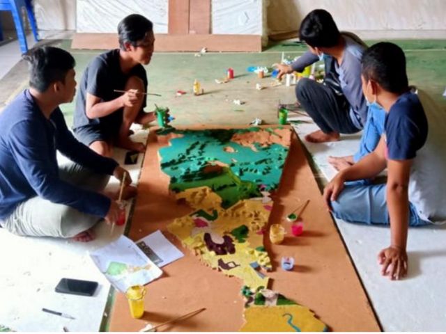
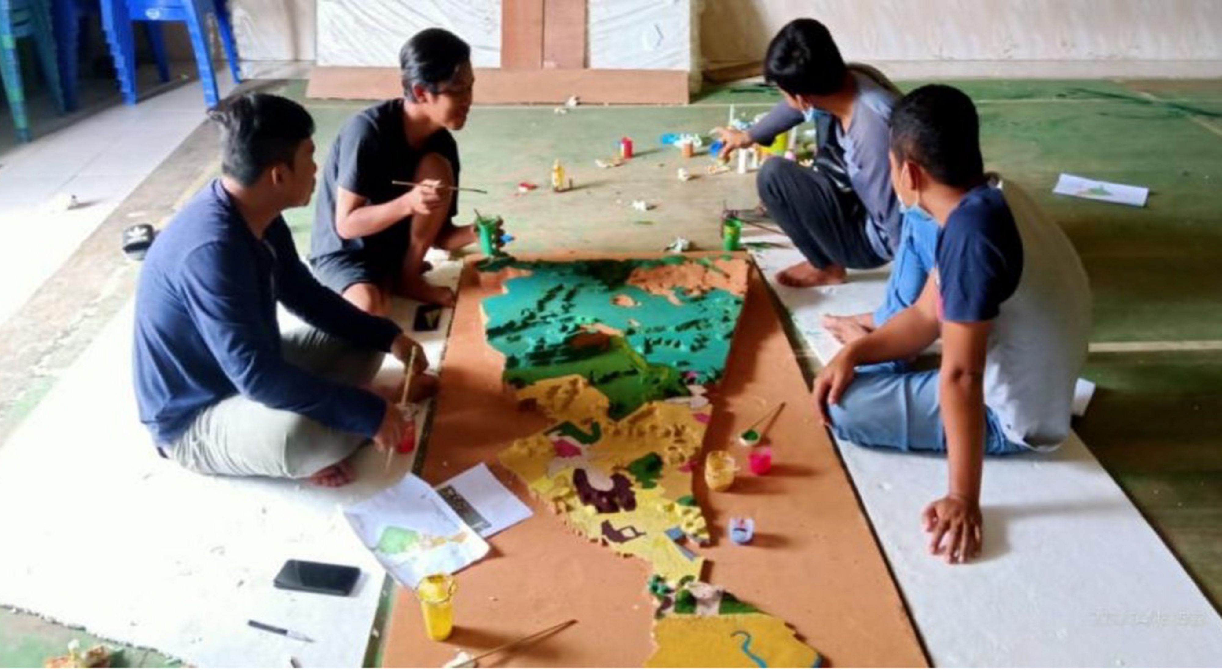
YP2SU aided the Biatan Lempake villagers in developing village governance by assisting in drafting a Land Use Plan (RTGL). The activities comprised participatory mapmaking of the village in a flat two-dimensional model (2D) and three-dimensional (3D) mapping. The 3D map model would help residents understand the area more clearly and recognise the administrational boundaries between the village and regional government. Aside from better geographic understanding, residents can also find out about the most current physical condition of the hamlet. For example, how much of the forest is left, which area is steep and which is mountainous, and recognising the locations of the village’s assets.
The 3D mapmaking of the Biatan Lempake village was carried out together with village officials, community leaders, and residents. The process took two days, from 17 to 18 April 2021, at the Karangan village hall, together with other teams from Karangan and Biatan Bapinang villages.
RTGL Drafting
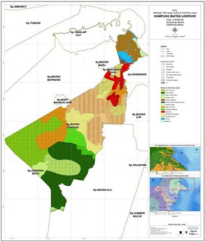
Designing the RTGL village map was kickstarted with an information-gathering effort by the village facilitator and the geospatial team. Then, a geospatial team from YP2SU and YKAN developed the resulting data and map information to produce 2D and 3D maps.

Several noteworthy agreements in developing the RTGL map were: (1) establishing High Conservation Value (NKT) locations as the Village Forest, (2) proposing a forestry partnership with the government over a limited-production forest near the village, (3) proposing a partial of their mangrove area to be developed into conservation and education zones, (4) proposing for their white sand beaches to be developed as a tourist destination and the Biatan estuary as a public fishing spot, (5) develop the Kiti river water spring and some of its areas into a tourist attraction for bathing, (6) proposing a location for community plantation and residential area, and (7) proposing the riverbanks to become a mixed-use plantation area for the residents.


